
This weekend will be a little cooler with temperatures near normal on Saturday and a little cooler on Sunday. High temperatures Saturday across the Front Range will climb into the upper 70s, with 60s in the mountains and low 80s on the Eastern Plains.
The big story for the weekend is wet weather. We are tracking thunderstorms for most of the state and even the chance of measurable snow above timberline. Rain and snow started falling early Saturday morning in the mountains and will continue throughout Saturday.
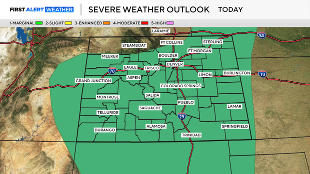
Expect the thunderstorms to move across the metro area in the early afternoon. Some of the storms could turn severe with gusty winds reaching near 40 to 50 miles per hour, plus hail around one inch in diameter.
Rain showers will continue overnight and some of us may wake up to rain on Sunday morning. The majority of the storms should move out of the Denver metro area by midday, leaving plenty of sunshine for the afternoon and dry conditions Sunday night. The Eastern Plains could see some of the thunderstorms last through dinner time before clearing out.